Skyline Divide Information
Skyline Divide
Location: Near Glacier, WA.
Rating: Difficult.
Length: 7.7 miles.
Elevation gain: 2381 feet.
Weather: Best visited during April to November.
Parking and Access: A Northwest Forest Pass is required to enter the trailhead. The parking lot holds approximately 25 cars.

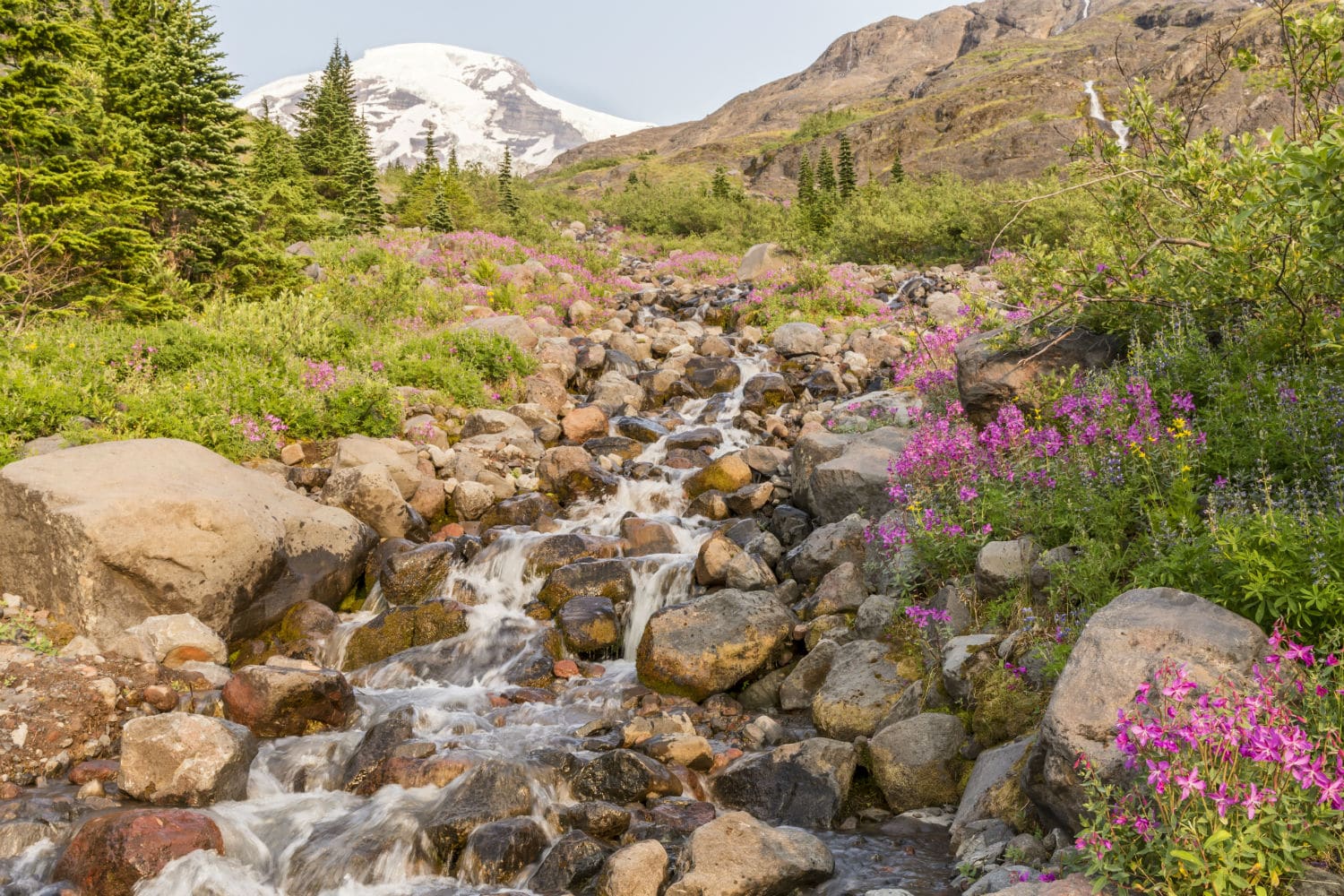
Near Glacier, Washington, this 7.7-mile, well used out-and-back Skyline Divide Trail has a lofty elevation gain of 2381 feet and has been described as strenuous. The breathtakingly beautiful Skyline Divide Trail offers hikers expansive, all-encompassing vistas of Mount Baker and the North Cascades. The walk meanders through rich alpine meadows that burst with spectacular wildflowers in the spring. Trekking up the crest offers expansive views of deep valleys, rolling hills, and rugged mountains, making it an incredibly picturesque and serene location.
The path is most popular (and best visited) from April to November and is used mostly for hiking, camping, bird watching, and backpacking. This route is accessible to dogs as well, although they must be leashed.
The closest town to the trail is Glacier, WA. From Glacier, travel east on Mount Baker Highway for approximately one mile, then turn left onto Forest Road 39 (Glacier Creek Road) to reach the Skyline Divide hike. After about 0.4 miles, make a right onto Forest Road 37 and follow this gravel road for roughly 12 miles until you get to the Skyline Divide trailhead, which is prominently signposted. It’s important to arrive early because the parking area at the Skyline Divide Trailhead can only accommodate roughly 25 cars. A Northwest Forest Pass is required to enter the trailhead.
The Skyline Divide Trail is the ideal location for outdoor enthusiasts seeking a peaceful workout in the scenic Pacific Northwest.