Boundary Way Trail Information
Boundary Way Trail
Location: Near Glacier, WA.
Rating: Difficult.
Length: 8.2 miles (out and back).
Elevation gain: 1458 feet.
Ideal time to visit: Months of June through October.
Parking and Access: Smaller parking lot, dogs must be on leash, and you you will need a Northwest Forest Pass.

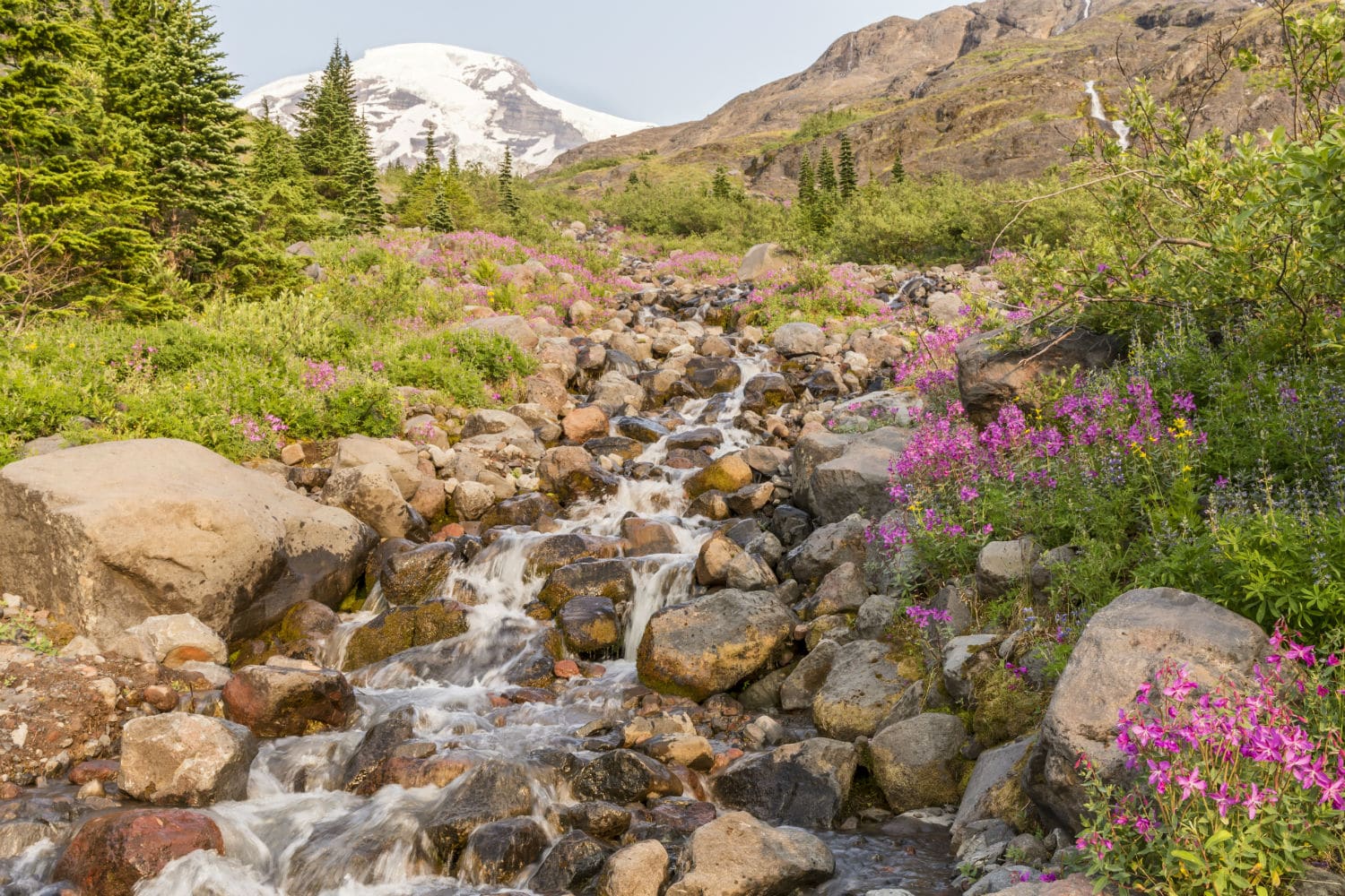
Situated close to Glacier and Maple Falls, Washington, the 8.2-mile Boundary Way Trail is classed as difficult and offers a range of terrain variations from woodland to picturesque meadow. You’ll journey through bogs, meadows, ridges, passes, and summits if you decide to embark on this wonderful trail. As you emerge from dense forests to reach the trail’s highest point of ascension, you’ll be privy to jaw-dropping views of the North Cascades. Mt. Shuksan and Mt Baker are notable peaks to observe.
Being the serene environment that Boundary Way Trail is, it must come at no surprise that the area is practically a paradise for the inhabiting wildlife. Like the other ascending trails nearby, mountain goats can make star appearances and deers can be seen grazing on the forest floor. You’ll find adorable little marmots and squirrels playing hide and seek.
The lightly trafficked route is best utilized from June to October and is popular for hiking, walking, nature walks, and bird watching. During this time one can partake on a blueberry buffet as well.
This route is open to dogs as well, although they must be leashed. In case you decide to go in early summer, be aware that there could potentially be snow patches.
From Glacier, drive east on Mount Baker Highway 542 to Canyon Creek Road 31. To reach the trailhead, turn left onto Road 31 and go about 15 miles. At the end of the road is where you’ll find the trailhead and parking lot. There is enough space for about 15 cars. You will need a Northwest Forest Pass.